This post is also available in:
“The digital world and reality must not be contradictory.”
The Interreg project DIGIWAY has the potential to become a milestone in terms of tour planning and accident prevention in mountain hiking. We asked the state of Tyrol, the Tyrolean project partner, what DIGIWAY is, what its aims are and what opportunities could arise from a quality-tested digital system for the hiking and mountain trail network.
In conversation:
Klaus Pietersteiner
Province of Tyrol, Forest Protection Department, Landscape Services Division
Lucia Felbauer
Geographer, Project Coordinator DIGIWAY
Interview:
Peter Plattner, Christina Schwann

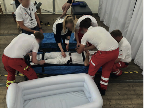
↑ Lucia Felbauer and Klaus Pietersteiner after the interview with analyse:berg.
Photo: argonaut.pro
a:b
What is the DIGIWAY project?
KP
The DIGIWAY project is an Interreg Italy-Austria project of the Euregio Tyrol-South Tyrol-Trentino in cooperation with the technology partner NOI Techpark. The project is funded by Interreg – supported by the European Regional Development Fund and Interreg VI-A Italy-Austria 2021-2027. The project will run for two years, from January 2024 to January 2026, with an extension until the end of June 2026.
The project originated from the RAGNAR project, which is primarily concerned with the risk analysis of rockfall along hiking and mountain trails. As a result, the Office of the Tyrolean Provincial Government recognized the need to improve the data situation around the hiking and mountain trail network in order to give hikers and mountaineers better opportunities for tour planning and to be able to make decisions based on quality-tested data. All in all, it is a very multifaceted project.
a:b
What does this mean in concrete terms?
LF
In fact, the project proposal also reads a bit like everything and nothing and it certainly required a discovery phase in the project team. In the end, it became clear that we wanted to merge existing data – i.e. the geometric data of the trail network that we receive from the federal states. In practical terms, this is similar to the cross-border avalanche situation report: We also want to merge the data across borders, harmonize it and make it available to the public. In order to automate this – and not just once, but in the long term and on an ongoing basis – MovingLayers software is currently being written.
The second focus is on two pilot studies – one in the Fassa Valley and one along the E5 long-distance hiking trail, which runs through all three regions – in which we have picked out individual topics relating to mountain hiking. We want to test new concepts here to see whether they work and whether they can be adopted by other stakeholders in the future. One example is the classification of hiking and mountain trails and how the current situation of the different classification systems can be improved.
a:b
Who is the target group of the project?
KP
There are actually several target groups. Ultimately, however, it is the end user – i.e. hikers and people who use hiking and mountain trails in general. However, the target group also includes trail owners who can better digitally record their infrastructure based on this data. Another target group are public authorities, the administration – such as my department: we promote maintenance work and it is interesting for us to know who is the trail owner on which section, how difficult is the trail, how many installations are there on this section? This allows us to assess whether 500 meters of steel cable is justified on this part of the route or not. The target group can also be rescue organizations such as mountain rescue services.
LF
I see an additional task of the project in mediating between the very different trail owners – alpine associations, tourism associations, municipalities, etc. – which we can do quite well due to our neutral position.
KP
Nature conservation is also a de facto issue. After all, the most important visitor guidance tool on the mountain is a well-signposted and maintained network of trails. Nature conservation issues can also be conveyed very well in a digital world.
a:b
All trail managers, whether from alpine clubs or tourism associations, have their own software and tools. There are countless tour portals on the web that present hiking suggestions, guidance measures, difficulty ratings, etc. There are also official maps. There are also official maps. Aren’t you a bit late with this project?